
TOUR OVERVIEW
Classic trekking route through the heart of Svaneti
The Mestia to Ushguli trek is one of the most famous trekking routes in Georgia. The route passes traditional Svan villages, open valleys, mountain viewpoints and remote landscapes where the medieval tower villages of Svaneti still define the horizon.
This tour is ideal for travelers who want a real mountain experience without technical climbing. The route includes several trekking days, local guesthouse stays and support from experienced local guides.
Who This Trek Is For (and Who It’s Not)
This is a moderate-to-challenging route. You don’t need mountaineering experience, technical gear, or Himalayan ambitions — but you do need to be comfortable walking 6–8 hours a day over uneven mountain terrain for four consecutive days, with one day involving significant elevation gain and a river crossing.
A good fit if you: have multi-day hiking experience, can handle 800+ meters of ascent in a day, enjoy basic accommodation, and want something more than a day hike.
Probably not right if you: haven’t done a multi-day trek before, have significant knee or ankle issues, or expect hotel-standard accommodation.
Honest advice: if you’re unsure, train beforehand. Three months of regular hiking with a loaded pack makes a real difference.
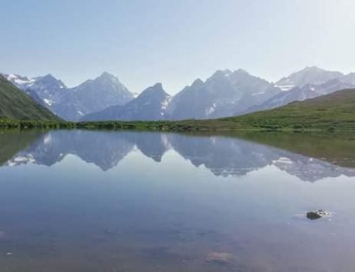
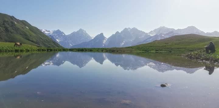
GALLERY

")
TOUR BY DAY
Day 1 — Mestia to Zhabeshi
| Distance | ~18 km |
| Elevation | +700 m / −400 m |
| Walking time | 6–7 hours |
| Overnight | Guesthouse in Zhabeshi |
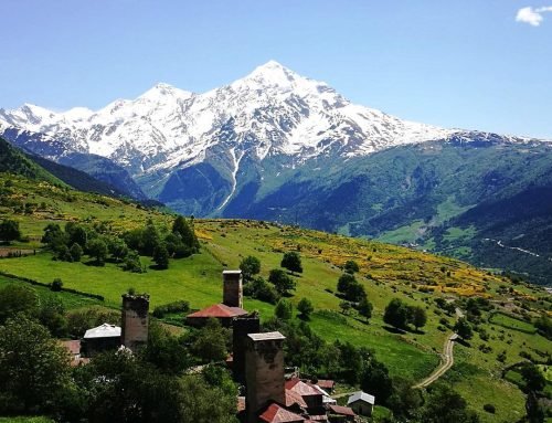
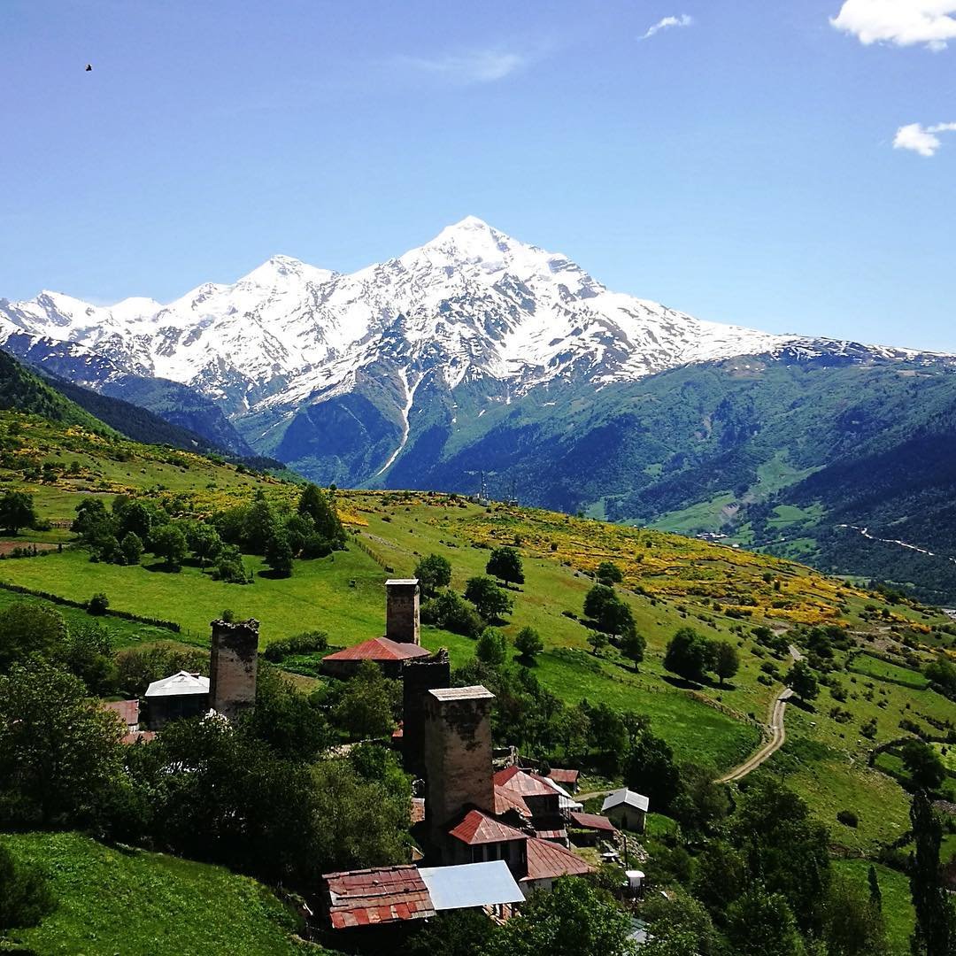
The trek starts from Mestia’s center and climbs gradually through forest and open pasture, gaining elevation along the Chkhuti ridge before dropping into the Mulkhura valley. The first couple of hours are the least dramatic stretch of the whole route — dirt tracks, scattered hamlets, the occasional cow blocking the path — but the reward comes as you gain height. Mount Ushba appears to the west, its twin-peaked silhouette unmistakable. At 4,710 meters, it’s sometimes called the Matterhorn of the Caucasus, and the comparison isn’t bad: steep, beautiful, and deeply intimidating.
By late afternoon, the trail descends to Zhabeshi, a cluster of stone houses and towers spread across the valley floor. Your guesthouse host serves dinner — expect thick bread, salty cheese, soup, and more food than you’ll finish. Sleep comes easy after six hours of walking.
Good to know: The first day is long but not steep. It’s mostly a warm-up. Save your energy — the harder days are coming.
Day 2 — Zhabeshi to Adishi
| Distance | ~12 km |
| Elevation | +800 m / −500 m |
| Walking time | 5–6 hours |
| Overnight | Guesthouse in Adishi |
Shorter in distance, bigger in views. The trail climbs steeply from Zhabeshi toward the Tetnuldi ski resort area — the infrastructure looks oddly industrial against the meadows, but you pass through it quickly. Once above the resort, the landscape opens up: wide alpine grassland, scattered wildflowers, and Mount Tetnuldi’s 4,858-meter snow-capped mass filling the northern sky.
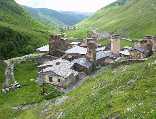
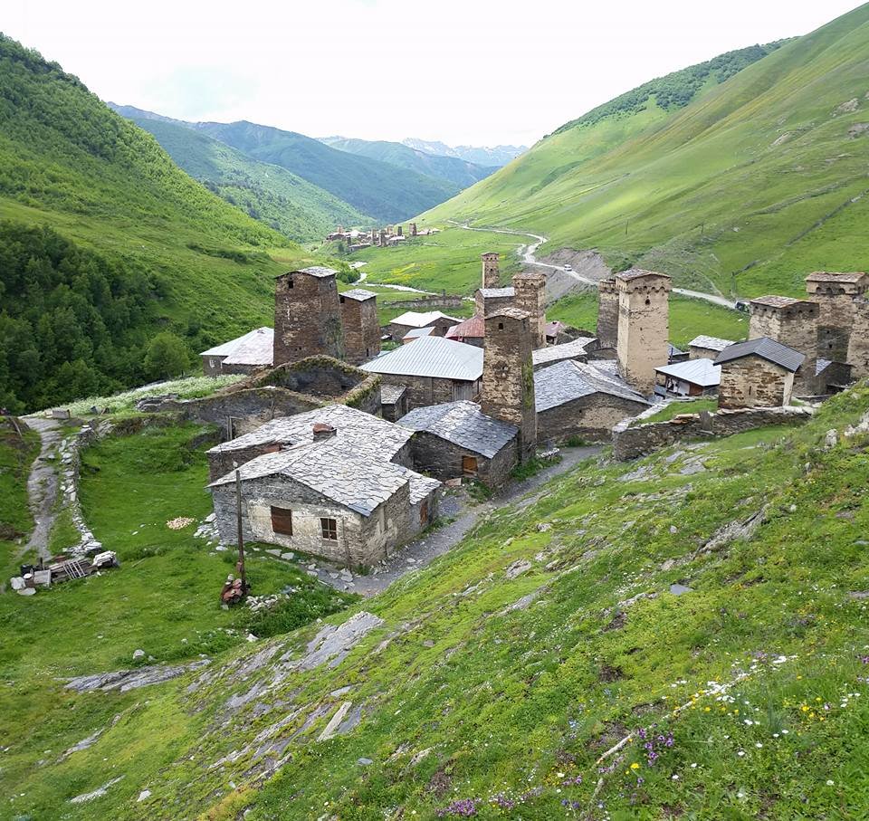
The descent into the Adishi valley is the day’s highlight. The trail drops through mixed forest and across several streams, and then Adishi appears below — a tiny village, barely more than a handful of towers and houses, sitting in a natural amphitheater with the Adishi Glacier grinding slowly down the slope above it. There’s something about this village — the isolation, the scale of the mountains around it, the fact that it’s still inhabited — that gets under your skin.
Dinner in the guesthouse. Early to bed. Tomorrow is the big day.
Good to know: If weather permits, walk a short way above the village after dinner. The evening light on the glacier is something you won’t see from a photograph.
Day 3 — Adishi to Iprali via Chkhunderi Pass
| Distance | ~19 km |
| Elevation | +850 m / −950 m |
| Walking time | 7–8 hours |
| Overnight | Guesthouse in Iprali |
This is the day everyone talks about. It starts with the Adishi River crossing — a glacial stream with a reputation that outweighs the reality. In normal summer conditions, the water is knee- to thigh-deep and manageable with trekking poles and careful footwork. When the water runs higher (early season, after heavy rain), locals bring horses and ferry you across for a small fee. Your guide reads the conditions and picks the safest approach. Either way, it takes a few minutes and your feet get cold. That’s the adventure part.
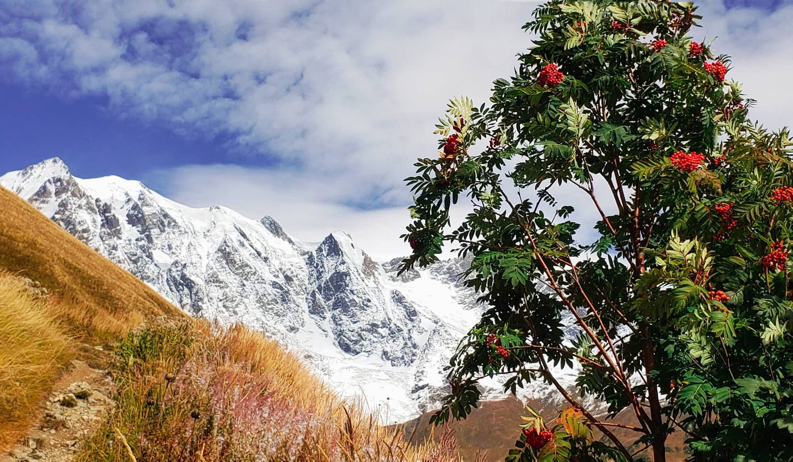
After the crossing, the trail climbs steadily toward Chkhunderi Pass at roughly 2,740 meters. The ascent is sustained but not vertical — you’re walking up through open terrain with the Adishi Glacier receding behind you and the Greater Caucasus range building in front. At the pass itself, everything stops for a moment. Shkhara to the east, Tetnuldi to the north, glaciers spilling off peaks in every direction. If the weather cooperates, this is the single most impressive viewpoint on the entire route.
The descent is long — through meadows, past the abandoned settlement of Khalde, down to Iprali perched on a hillside above the river. You’ll be tired. Dinner tastes better on a day like this.
Good to know: Start early. The river crossing is safest in the morning before glacial meltwater raises the level. Your guide will set the departure time.
Day 4 — Iprali to Ushguli
| Distance | ~11 km |
| Elevation | +400 m / −350 m |
| Walking time | 4–5 hours |
| Overnight | — |
The final day is the gentlest — a reward after yesterday’s effort. The trail follows the upper Enguri valley upstream, through rolling highland pasture with Shkhara growing steadily larger ahead. Georgia’s highest peak isn’t a subtle mountain. Its glacier — one of the biggest in the Caucasus — fills the entire head of the valley like a frozen river that decided to stay.
And then Ushguli. Not one village but four — Murkmeli, Chvibiani, Chazhashi, and Zhibiani — clustered at 2,200 meters. Stone towers, some tilting slightly after centuries of gravity and weather. Cattle wandering cobbled paths. The Lamaria Church on the hill above, looking out at Shkhara.
You’ll have time to explore before the transfer back to Mestia (roughly 2.5–3 hours by vehicle). If you have the legs, the hike toward Shkhara Glacier is worth the extra hours.
ROUTE / MAP
Tour price details
- guide
- transport
- accommodation
- breakfast
- dinner
- lunchbox
Before you book
Fitness level
Moderate. You should be comfortable walking several hours per day on mountain trails.
Weather
Mountain weather can change quickly. Warm and waterproof clothing is recommended.
Accommodation
Guesthouses are authentic and simple. Private bathrooms may be limited.
Best time
Usually from June to October, depending on snow and trail conditions.
PLAN YOUR SVANETI TREK
Send us your travel dates
We will check availability, recommend the best route format and explain what is realistic for your dates, group size and comfort expectations.
+995 577 748 793
tours@svanetitrekking.com
